UN Takes a Stand for Accurate Mapping: The Equal Earth Projection Gains Momentum
By Editor • September 9, 2026 • 2 min read
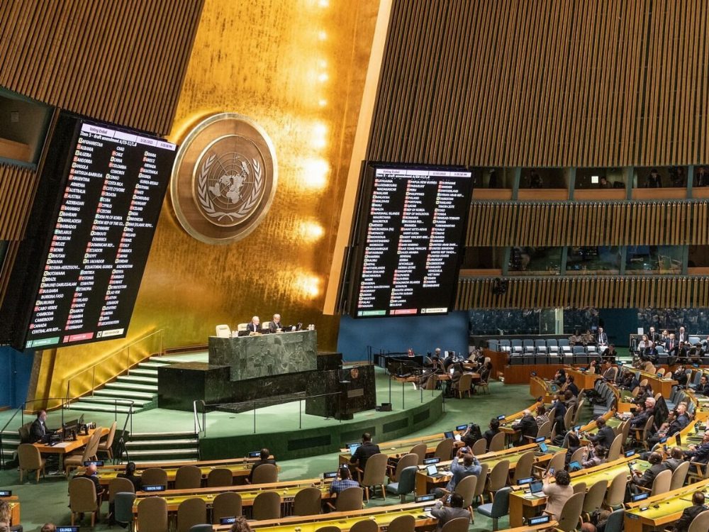
In a significant move aimed at correcting centuries of cartographic distortion, the United Nations General Assembly has voted overwhelmingly to promote a new world map that more accurately represents the sizes of continents, particularly Africa. On September 4, 2026, the resolution passed with a vote of 164 to 1, with the United States being the sole dissenting voice.
The resolution, championed by Togo on behalf of the African Group, which includes 54 African nations, encourages the use of the Equal Earth cartographic projection. This method seeks to provide a more accurate depiction of land areas, countering the long-standing dominance of the Mercator projection, which has long exaggerated the size of regions like Greenland while diminishing the scale of Africa.
Understanding the Mercator vs. Equal Earth Debate
The Mercator projection, created by Gerardus Mercator in 1569, was originally designed for maritime navigation, allowing sailors to plot a course across the seas. However, its use has morphed into an inaccurate representation of the world, leading to a skewed perception of geographic significance. The distortion increases with distance from the equator, rendering areas near the poles disproportionately large compared to those near the equator.
African leaders have voiced their concerns about this misrepresentation. In a March 2026 address, African Union Commissioner Amma Twum-Amoah highlighted that the Mercator projection “shrinks Africa on the world map,” leading to a significant underestimation of the continent’s economic and cultural importance.
Equal Earth: A New Era of Mapping
The Equal Earth map, developed in 2018 by a group of cartographers, was designed to rectify these inaccuracies. It is an equal-area pseudocylindrical projection that aims to present countries and continents in their true size while maintaining an easily recognizable shape. NASA and National Geographic have already adopted this mapping technique for various applications, including educational materials and climate data.
The UN resolution does not mandate the discontinuation of the Mercator projection but instead encourages the use of the Equal Earth method as a more equitable alternative. The resolution underscores the importance of how maps influence perceptions of geography and global dynamics, paving the way for a more accurate understanding of our world.
Source: matadornetwork.com